Turkey Creek Hot Springs, New Mexico: Gila Hike Guide
Turkey Creek Hot Springs sits deep in New Mexico's Gila Wilderness, reached by a rugged full-day hike with river fords, boulder scrambling and hand-dammed pools.
On this page
Turkey Creek Hot Springs delivers the kind of soak most hot springs guides can only promise: a quarter-mile of creek bed where water rises at up to 165°F and dozens of pools have been dammed by hand into soaking temperature. It suits fit hikers who want a wilderness hot spring badly enough to earn it with three river fords, boulder-hopping and two tight rock passages, and who can give up a full day to the round trip.
The spring sits on the south side of the Gila Wilderness in southwestern New Mexico, in the country west of Silver City and north of Glenwood. The nearest lodging base for an early start is Glenwood, and the drive from there into the mountains uses State Road 153 and then Forest Road 155. For the wider regional picture, this sits among the wilder hot springs in New Mexico rather than the developed pools around Truth or Consequences.
Where Turkey Creek Hot Springs sits
The springs are in Turkey Creek Canyon, a tributary drainage that meets the Gila River inside the Gila Wilderness. They lie roughly 11 miles as the crow flies from the Casitas de Gila guesthouses near Gila, but the actual route is a rough mountain drive followed by a hike of about five miles in, according to a detailed route account published by the guesthouse owners.
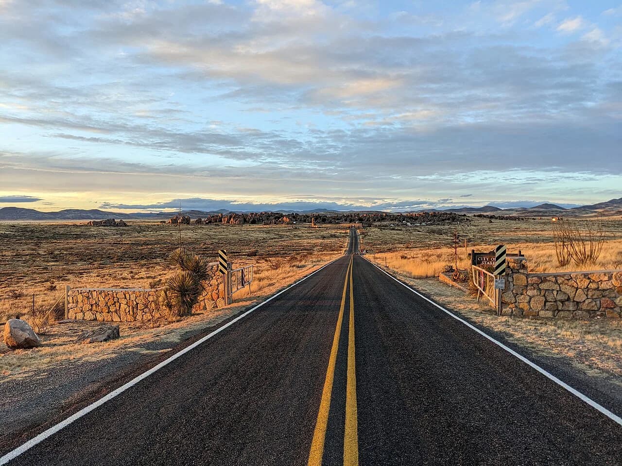
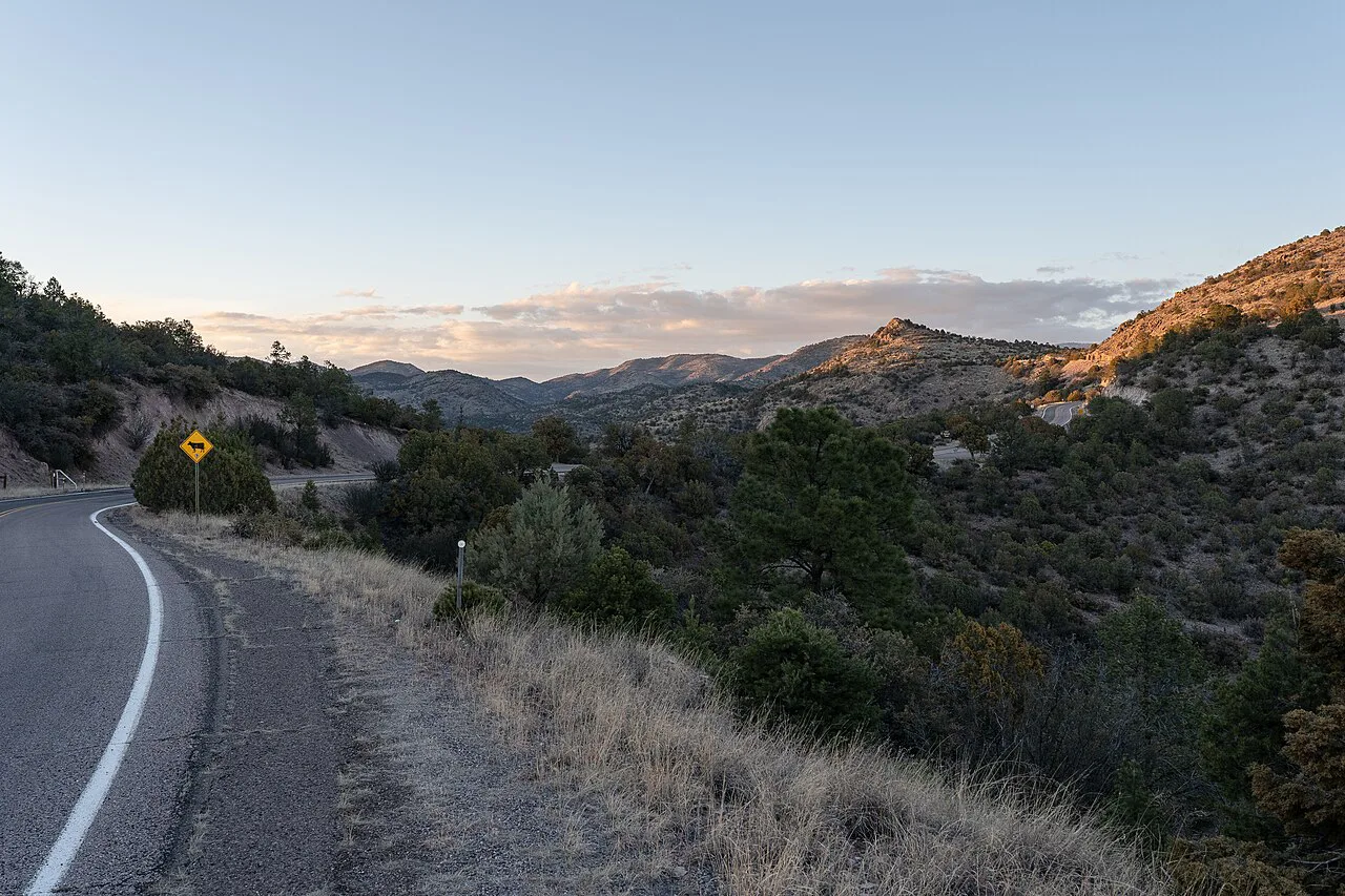
On the map the approach begins at the less-traveled stretch of State Road 153, locally called Turkey Creek Road, which climbs north toward the Piños Altos Range. About nine miles of that climb is rough, winding gravel, gaining a mile-long ridge near 5,800 feet before dropping into Brushy Canyon and the Gila River floodplain. Plan on high clearance, sound tires and good brakes even though four-wheel drive is not strictly necessary.
This is a wilderness soak, not a resort pool or a roadside tub. There are no developed facilities at the springs, and the pools are natural rock basins and hand-laid rock dams in the creek bed. That is the appeal and the trade-off: you get a remote thermal canyon instead of a maintained deck and a posted temperature.
Getting to the trailhead
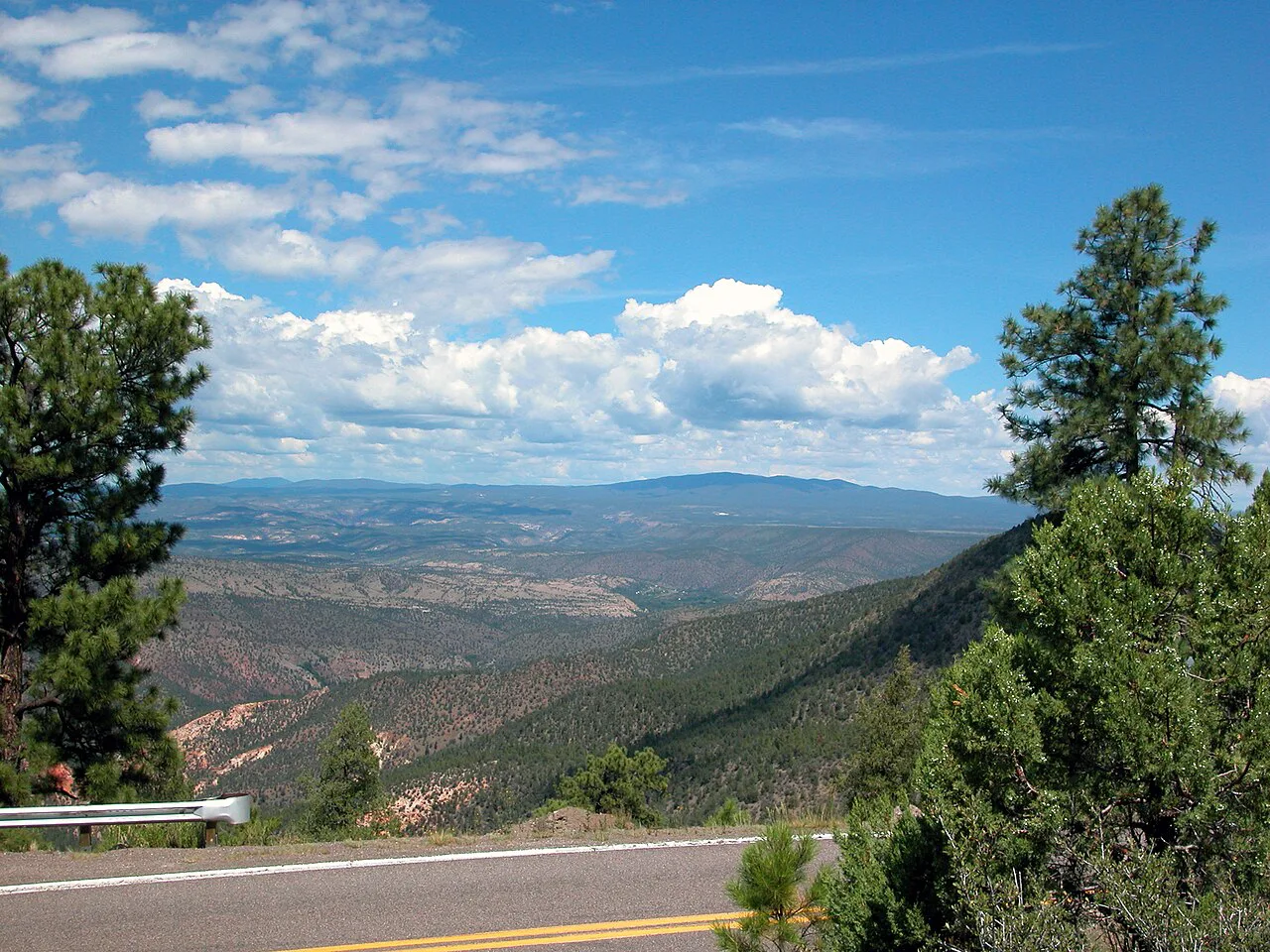
From Glenwood, allow close to an hour for the drive to the trailhead, with the first five miles on hilly ranch country along Hooker Loop before you turn north on State Road 153. The road soon becomes Forest Road 155 and starts to climb. The route account describes the upper section as steep and rough, with a panoramic ridge view and then a long descent to where the trail begins.
The trailhead itself sits near the Gila River floodplain at the end of Forest Road 155. In the route account the road had been barricaded with boulders after a washout, so the last half mile is walked along the abandoned roadbed beneath cottonwoods and sycamores before the first ford. Treat the exact parking spot as something to sort out on arrival rather than a fixed, signed lot.
The nearest larger town for fuel, groceries and a motel is Silver City, a longer drive to the south and west. Glenwood is the smarter base if you want to reach the trailhead early, since the hike is a full day and a late start pushes you into the canyon in fading light. Two places to settle for the night are the guesthouses near Gila and the lodges in Glenwood.
The Gila River fords
The hike starts with three fords of the Gila River before you ever enter Turkey Creek Canyon. In the route account the crossings ran calf-deep to knee-deep in late morning, with the last the deepest, and the water cold even in warm weather. That is the defining feature of the day: you will get wet early and stay wet on the return.
Spring runoff and summer monsoon floods raise the Gila, and a fast, thigh-deep river is a different proposition from the calm knee-deep crossing described here.
The practical response is footwear you can wade in and change out of. The route account notes that some hikers switch to canvas shoes before the first ford and wear them until the last crossing is behind them. If you plan to keep hiking boots dry, carry sandals or old sneakers, and accept that the return crossing comes at the end of the day when you are tired and the light is lower.
River levels are the variable that can shut the route down. Spring runoff and summer monsoon floods raise the Gila, and a fast, thigh-deep river is a different proposition from the calm knee-deep crossing in the account. Before you commit to the fords, ask the Gila National Forest district ranger station in Glenwood about current river and road conditions.
Up Turkey Creek Canyon to the fork
Past the last ford the trail enters Turkey Creek Canyon and follows the creek's west bank through a corridor of white-barked sycamores and vertical volcanic walls. The grade is gentle at first, and the walking is straightforward even with a pack. About two miles up the canyon a spacious, shady flat on the west side of the creek makes a natural rest stop and an established campsite.
The critical turn comes a few hundred yards past that camp, at a fork marked only by a couple of small cairns. The route account is blunt about it: the hot springs trail forks right while the more heavily used Skeleton Canyon Trail bears left and climbs switchbacks up the ridge. Miss the right fork and you will spend the day gaining elevation instead of soaking, so slow down and look for the cairns.
Beyond the fork the character of the hike changes completely. The route up Turkey Creek narrows, the trail fades to a faint path or disappears, and progress becomes a mix of scrambling over large boulders and hopping back and forth across shallow pools. The canyon floor is beautiful but slow, and this is where a ten-hour day is made or lost.
The Narrows, the Keyhole and the Squeeze
The crux of the route is a stretch where the canyon walls close to the water's edge. The route account describes the Narrows, then the Keyhole, a gap you pass by crawling on your belly, followed by the Squeeze, a roughly 100-foot narrow cleft that requires full-body scrambling. Past the Squeeze the going eases for the final tenth of a mile to the pools.
The second account describes the same obstacle as an infamous rockfall, with one hiker edging along a shelf to the right of a waterfall while others ferried packs over the falls. The takeaway for planning is the same from both: a large pack, a fear of tight spaces or weak scrambling confidence will turn this section into a decision point rather than a photo stop.
Judge your comfort honestly before you commit. The rock is slippery where the creek runs over it, the passage is tight, and once through you have to come back the same way. A small daypack, free hands and sturdy shoes make the Keyhole and Squeeze far more manageable than a loaded overnight pack.
The pools
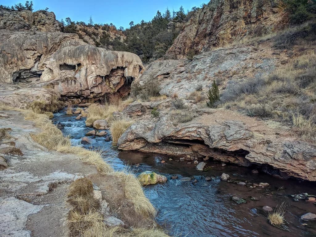
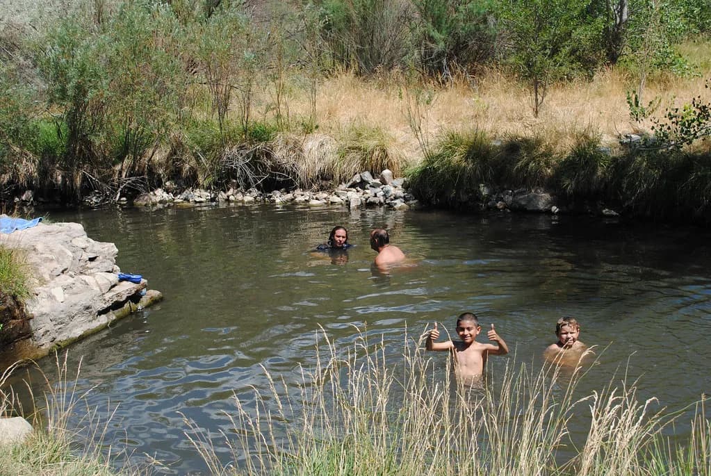
At the springs, a quarter-mile of Turkey Creek bubbles up along a stretch with pools that range from too hot to too cold to just right. The geothermal water rises at up to 165°F, and the temperature in any given pool depends on how much cold creek water is mixing in at that moment. Hand-laid rock dams have been used to hold water and adjust the mix.
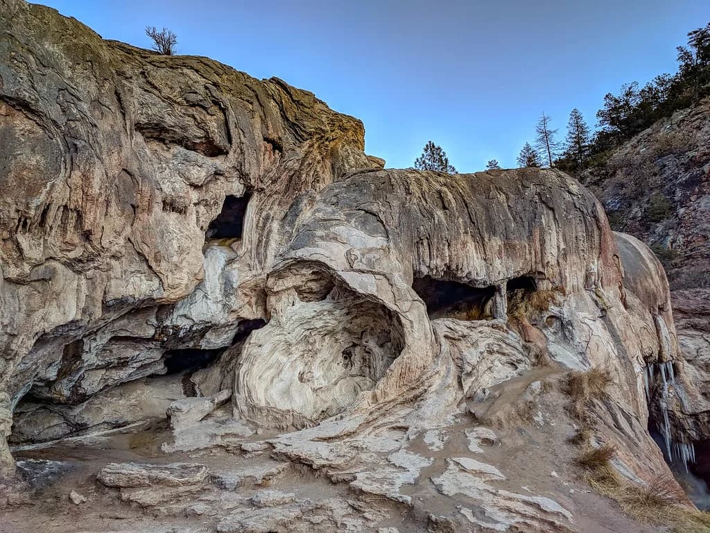
The layout is a chain of basins up a volcanic canyon, with a deep elongated pool, a rock slide and a waterfall at its upper end, and more pools upstream. Soaking is an exercise in finding the right basin and then adjusting it by shifting rocks, which is exactly how the pools have been maintained. Expect the hot water to come up through sand and bedrock fissures rather than a single spout.
Treat the source water as scalding and test every basin before you step in. The rock is slick where it is wet, and a pool cold at one end can be dangerously hot a few feet upstream. Keep your head out of the untreated geothermal water rather than submerging it, which is standard practice at wilderness springs around the West.
Season and timing
The most favorable windows for this hike are spring and fall: from April through late June, and again from late September through early November. The route account credits those periods with avoiding both spring runoff and summer monsoon floods, and with enough daylight for a one-day round trip. That is a seasonal guideline, not an official rule, so read it as a starting point for your planning.
The most favorable windows are April through late June, and late September through early November, which avoid spring runoff and summer monsoon floods.
The full day is long, and the source that walked it allows a good ten hours with about five miles in and a slightly shorter 4.5 miles out by GPS. High water and short daylight hours are the two limits worth planning around. Start early enough that you are back across the Gila River fords well before dark.
Summer brings monsoon storms and the risk of flash floods in a narrow canyon, while early spring can mean snowmelt-fed, high, cold fords. Winter shortens the daylight to the point where a one-day round trip stops being sensible for most hikers, even if the canyon itself stays open. Your best fit is a settled forecast in spring or fall. Hikers weighing a shorter, drier season should also look at the hot springs in Arizona, where many soaks need only a brief walk.
Camping and lodging
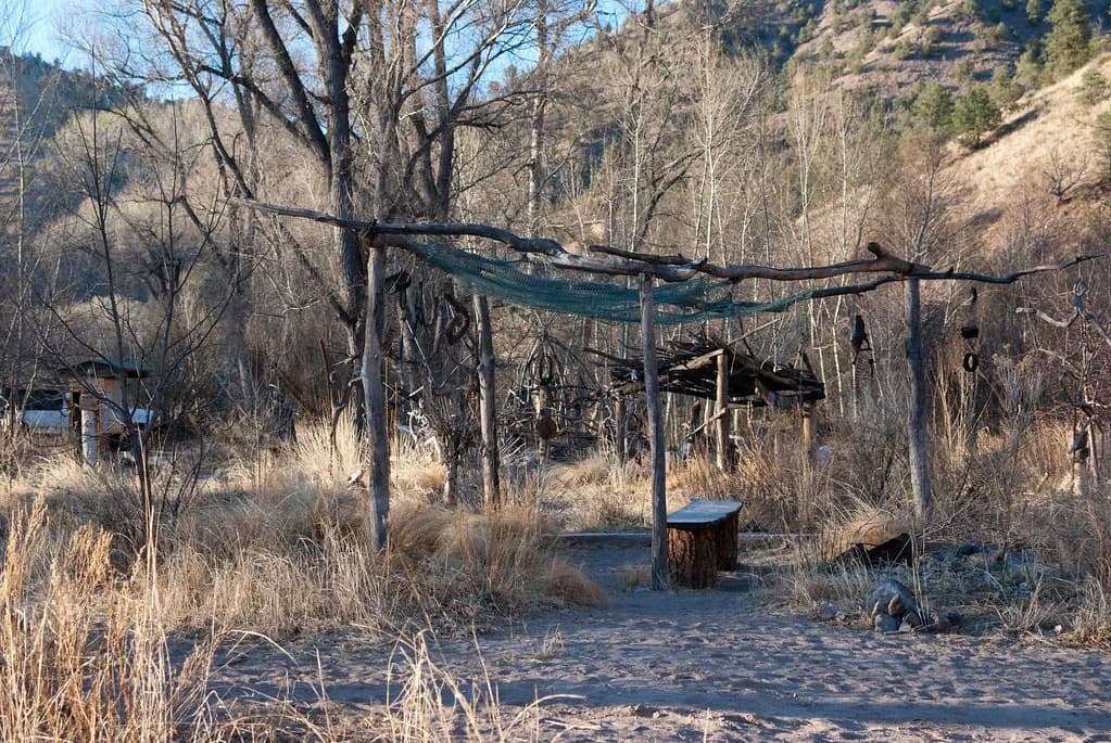
Backpackers can split the trip with a night in Turkey Creek Canyon. The route account describes a lovely, spacious campsite on the west side of the creek about two miles in, shaded by piñon, gray oak, walnut, ponderosa, sycamore and ash, with old rock-lined fire pits. Another account found additional campsites by walking upstream past the main pools.
For a bed instead of a tent pad, the Casitas de Gila guesthouses sit near Gila, about an hour from the trailhead through the roads described above. Glenwood, further south, is the other natural base near the ranger station and the main road. Staying in either town sets you up for an early start, which matters more here than on most hot springs trips.
If you camp, pack out everything and keep your group small, because this is a wilderness soak with no trash service and the campsites survive on care. The route account notes old fire pits around the two-mile camp, so respect existing rings. Do not build new ones, and use a stove if you are cooking.
Nearby springs for a Gila road trip
The Gila region holds several other hot springs that pair naturally with a Turkey Creek trip, and they vary widely in access. Gila Hot Springs sits just off State Highway 15 on the way to the Gila Cliff Dwellings, while Lightfeather Hot Springs, also called Middle Fork Hot Springs, is about a half-mile walk from the cliff dwellings visitor center. Jordan Hot Springs is the other end of the spectrum, some eight miles up the Middle Fork of the Gila River.
| Spring | Access |
|---|---|
| Gila Hot Springs | Just off State Highway 15 on the way to the Gila Cliff Dwellings |
| Lightfeather Hot Springs | About a half-mile walk from the cliff dwellings visitor center |
| Jordan Hot Springs | Some eight miles up the Middle Fork of the Gila River |
| Stagecoach Hot Springs | Wilderness soak reached on foot |
The trade-off is time versus reward. A short State Highway 15 loop gives you developed or near-road soaking after a hard day, while Jordan offers another deep wilderness commitment. If you are stringing together several New Mexico soaks on one trip, plan the settled pools for your recovery days and the hikes for your strongest ones.
Hikers who like the Gila's walk-in character without the Keyhole and Squeeze can aim for Stagecoach Hot Springs, a wilderness soak reached on foot in the same national forest country. Use the same planning logic as here: early start, river and road conditions, and a pack light enough to scramble with.
What to pack for a wet, rocky canyon hike
Build your kit around three water crossings and a lot of boulder-hopping. Bring footwear you can wade in, such as old sneakers or sandals, and a dry pair of socks and shoes for the return, since the fords are cold even in warm weather. Zippered pockets and a small pack keep gear dry when you scramble.
A small daypack is safer than a large one through the Keyhole and the Squeeze. Carry water, a map, a headlamp and a first-aid kit, and keep your hands free for the tight sections and the wet rock. A nose clip is a simple way to keep your head out of the water while you soak.
Hikers regularly call this a rigorous route with bushwhacking and boulder-hopping, and the reward justifies the effort. The trailhead is remote enough that a breakdown or lost light compounds quickly. Treat the day as a full backcountry outing and pack to match.
Plan the Soak
Turkey Creek Hot Springs is for the hiker who wants a chain of hand-built thermal pools deep in the Gila Wilderness and is willing to trade a long day, cold fords and two tight rock passages for it. Plan around a spring or fall forecast, start early from Glenwood or Gila, and keep your pack small enough for the Keyhole and the Squeeze.
Call the Gila National Forest district ranger station in Glenwood before you drive out to confirm river levels, road conditions and any current closure, since those change with storms and seasonal use. Build the whole day around the drive and the walk back across three fords, then enjoy the soak.
Frequently Asked Questions
How long is the hike to Turkey Creek Hot Springs?
Allow a good ten hours for the round trip. The route runs roughly five miles in, with three fords of the Gila River, a fork to the hot springs trail, and a boulder-scramble section before the pools. The return is about 4.5 miles by GPS, so it is a full-day outing rather than a quick roadside walk.
Do you have to ford the Gila River to reach Turkey Creek Hot Springs?
Yes. The route begins with three crossings of the Gila River before you enter Turkey Creek Canyon, and the last is the deepest. Plan footwear you can wade in and expect to cross again on the way back. River levels change with runoff and storms, so ask the district ranger station about conditions.
What is the best season to hike to Turkey Creek Hot Springs?
Spring and fall are the most favorable windows: April through late June, and late September through early November. Those periods avoid spring runoff and summer monsoon floods and leave enough daylight for the round trip. Check the forecast for storms before you go, since a narrow canyon is the wrong place in a flash flood.
Can you camp near Turkey Creek Hot Springs?
Yes. A spacious, shaded campsite sits about two miles up Turkey Creek Canyon, and more campsites lie upstream past the pools. This is wilderness camping with no services, so pack out everything and use existing fire rings. Sleeping in the canyon lets you split the long hike over two days.
How hard are the Keyhole and the Squeeze?
They are the crux of the route. The Keyhole requires crawling on your belly, and the Squeeze is a roughly 100-foot narrow cleft that calls for full-body scrambling. Both are tight and the rock is wet in places, so a small pack and free hands make a real difference. If tight spaces are not for you, the trip stops being fun here.
What other hot springs are near Turkey Creek in New Mexico?
Gila Hot Springs and Lightfeather Hot Springs are easier soaks off State Highway 15 near the Gila Cliff Dwellings, and Jordan Hot Springs lies deeper up the Middle Fork of the Gila River. Down the road, Stagecoach Hot Springs offers another walk-in wilderness soak in the same national forest country.
Sources
Hot springs notes for your next road trip
Optional updates when we add or revise hot springs guides.
You might also like
Continue reading
More guides you'll find useful