
Skillern Hot Springs Idaho: Hike, Trail Fork & Soak Guide
Skillern Hot Springs in Idaho takes a 6-mile round-trip hike in Sawtooth National Forest. Plan the drive from Fairfield, the high or low trail, and the soak.
On this page
Skillern Hot Springs is the kind of Idaho soak you earn: a small rock-walled tub fed by hot water trickling down a mineral-stained boulder, tucked into the Sawtooth National Forest north of Fairfield. The reward fits hikers who like a full day out, are comfortable on rough gravel roads, and would rather share a four-person pool with a few people than a developed deck with a crowd. It suits hikers and mountain bikers alike, since the trail is open to both.
Where Skillern Hot Springs sits
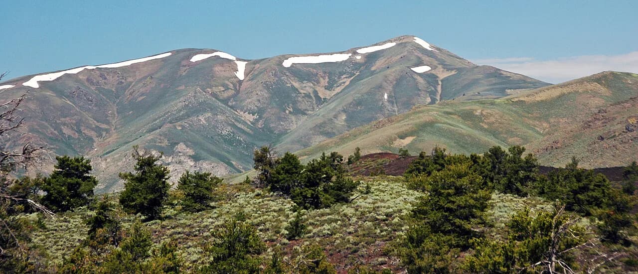
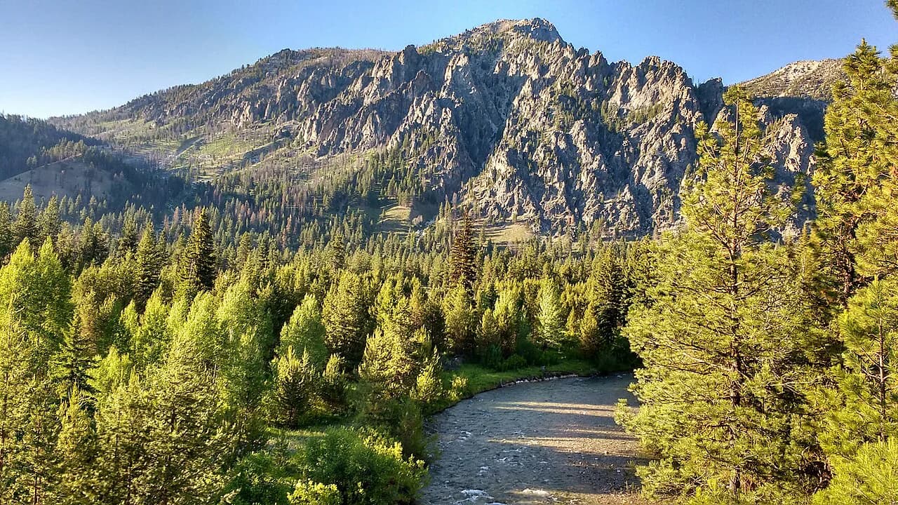
The spring lies in the Sawtooth National Forest above Big Smoky Creek, reached from the small town of Fairfield in southern Idaho. Fairfield is the last place with real services, food and gas before the forest, so plan your supplies there. The pools sit on the edge of the creek, which means the water level and the shape of the soaking spots shift with the season.
Getting there
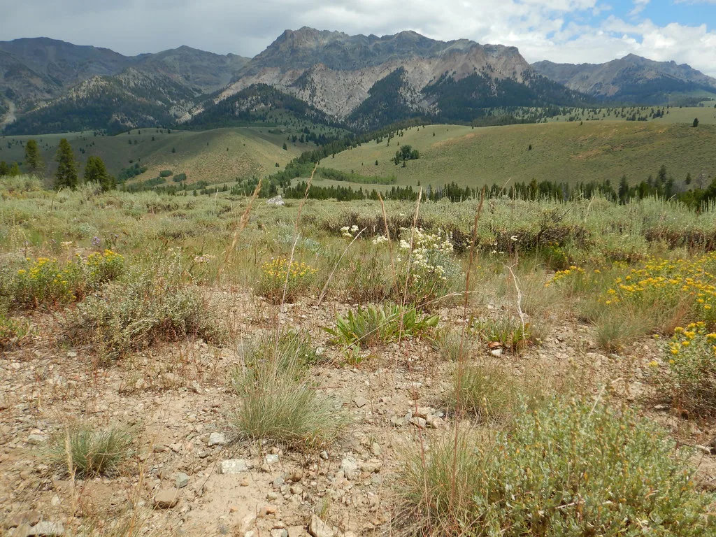
From Fairfield, drive north on Soldier Creek Road and follow it as it becomes NF-94, then veer left onto Forest Road 227. After several miles, look for Big Smoky Road, also signed Forest Road 084, and follow it to the end parking lot at Canyon Transfer Camp. The Smoky Bar Store, at the fork on the way in, is the last stop for supplies before the trailhead.
The drive from Fairfield to the trailhead takes about an hour over rough gravel that curves with the mountains, so a vehicle with decent clearance makes the day easier. The road closes to vehicles once heavy snow falls and stays closed until the snow melts, then reopens, which in some years pushes the opening into June or July. Summer and fall are the reliable windows, and fall brings changing trees along the creek.
If you are piecing together a longer Idaho soaking tour, this forest is one of several clusters worth stringing together; the broader guide to hot springs in Idaho helps you slot Skillern into a route that includes other Sawtooth soaks.
The trailhead
The trailhead has a large parking lot and an information map at the start of the route, which makes the first mile straightforward. A campground with toilets sits at the trailhead, a useful base if you want to start early. From the north, hikers and mountain bikers can also reach the springs through the Wood River area, which makes a one-way or loop option for fit riders and walkers.
The hike at a glance
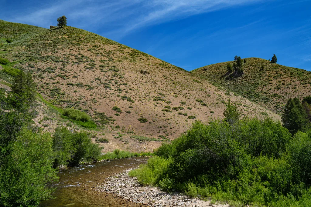
The route is a 6-mile round trip on a clearly marked dirt path that follows a clear river through sagebrush, meadows and deciduous trees. Count on roughly 600 feet of elevation gain and two and a half to three hours of walking, which makes it a moderate half-day rather than a quick roadside stop.
Plan the day as a full outing: about an hour of driving each way from Fairfield plus the hike and soak time. Carry more water than you think you need, because much of the trail is exposed and the return leg comes after you have been sitting in warm water.
The fork: High Trail or Low Trail
About two miles in, the path splits at a signed junction for the High Trail and the Low Trail, and this is the decision that shapes your day. The Low Trail crosses the river three to four times and stays in shade, so it is the better pick when the creek is low and you have water shoes. The High Trail stays above the river and asks for more climbing, but it keeps your feet dry.
After heavy melt or a storm, the crossings on the low route can be deep and fast, and the high route becomes the sensible choice for most hikers.
River levels really do decide for you: after heavy melt or a storm, the crossings on the low route can be deep and fast, and the high route becomes the sensible choice for most hikers. Whichever you take, the two branches rejoin and run about another mile to the springs. Trekking poles help on the slippery rock near the creek, and long pants are worth the warmth if you are walking through brush.
Finding the springs
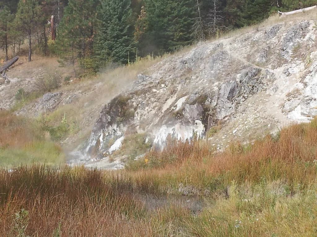
The pools hide until you are almost on them. Watch for steam and for hot water dripping down a large boulder streaked in reds and oranges from mineral deposits, then follow the boulder around its bend, carefully on the wet rock, to reach the main tub. Hikers who walk past the boulder and stop at the first warm puddle miss the best soaking spot.
The pools
The main pool is a rock-walled tub fed by a small waterfall, with a gravel-and-rock bottom, and it holds about four adults comfortably. Smaller lukewarm pockets sit nearby, built up over time, and in midseason the creek's edge pools appear along Big Smoky Creek with silt bottoms and cooler water.
This is a primitive soak with an informal clothing-optional norm, so expect to share a small space and read the room before you settle in. Keep your head above water in untreated geothermal water, and test the inflow before you slide in, because the water arriving at the tub is hotter than the pool itself. The rocks around the tub stay slick, so move slowly and keep your footing on the way in and out.
When to go
Summer and fall are the seasons that work, with late July through fall the prime window once the snow has cleared from the access road. Early-season trips can still run into snow, and the road closes again when heavy snow returns, so the soak is a fair-weather destination. Fall is the quieter, prettier choice, with fewer people on the trail and color in the trees along the creek.
Arrive early in the day for the best chance at an empty tub, since the four-person pool sets the real limit on how many people can soak at once.
Crowds are light compared with roadside springs, and the four-person pool sets the real limit on how many people can soak at once. Arrive early in the day for the best chance at an empty tub, and expect company on summer weekends. If you want a developed pool with a different feel, Bear River Hot Springs in the Riverdale Valley makes an easy counterpoint on a longer loop through southern Idaho.
What to pack
Bring sun protection for the exposed stretches, water shoes if you plan to take the Low Trail, and plenty of water for the return hike. Long pants are worth packing because snakes have been seen along the trail, and sturdy shoes handle the slick rock at the springs better than sandals. A dry layer for the hike out makes the cool-down after soaking more comfortable.
Camping near Skillern Hot Springs
Canyon Transfer Camp at the trailhead works as a base, and primitive sites sit above and below the springs for those who want to stay closer. If you camp near the water, keep your site at least 200 feet from the creek.
Back in Fairfield, the Prairie Inn and local vacation rentals serve travelers who want a bed instead of a tent, and Fairfield's cafes and breweries make a good stop after the hike. Book ahead in fall, when leaf season fills the limited rooms in the valley.
Nearby springs to combine
Worswick Hot Springs sits in the same part of the Sawtooth National Forest and pairs naturally with Skillern for a two-soak day or an overnight loop. Pries Hot Springs is smaller but reliable, and makes a short add-on if you have already driven this far up the forest roads. If you are comparing this primitive hike-in soak with drive-up options elsewhere in the region, our Wyoming hot springs guide covers Thermopolis and the state's developed pools.
Farther afield, Rocky Canyon Hot Springs near the Middle Fork Payette River and Burgdorf Hot Springs in the Payette National Forest give you developed and rustic options on a longer Idaho soaking road trip.
Leave No Trace at a primitive soak
This is a hike-in soak with no staff, so pack out everything you carry in, including trash you find at the pools, and leave the mineral rock and the tub as you found them. Camp on durable ground away from the creek, keep fires small or skip them, and give other soakers space so a four-person pool stays pleasant for everyone.
Plan Your Visit
Skillern Hot Springs asks for a real day: an hour of gravel driving from Fairfield, a 6-mile round trip with about 600 feet of gain, and a fork where the river decides your route. Go in summer or fall, take the Low Trail when the creek is low and the High Trail when it is not, and carry water shoes and sun protection.
Before you drive the forest roads, confirm road and snow conditions with the Sawtooth National Forest ranger district, since the access road closes with heavy snow and reopens after the melt. Then build the rest of your Idaho route around the other soaks nearby, and leave the tub cleaner than you found it.
Frequently Asked Questions
How long is the hike to Skillern Hot Springs?
It is a 6-mile round trip from the Canyon Transfer Camp trailhead, with roughly 600 feet of elevation gain, and most hikers should plan on two and a half to three hours of walking before soak time. The first two miles follow a clear, well-marked dirt path along the river, then the route splits into the High and Low trails before rejoining for the final mile to the pools. Budget the whole day once you add the drive from Fairfield.
Should I take the High Trail or the Low Trail to Skillern Hot Springs?
Take the Low Trail when the creek is low and you have water shoes, because it stays in shade but crosses the river three to four times. Take the High Trail when runoff or a storm has the creek running deep and fast, since it climbs more and stays above the water with dry feet. The two branches rejoin about a mile before the springs, so either choice reaches the same tub.
How do I get to the Skillern Hot Springs trailhead?
From Fairfield, drive north on Soldier Creek Road as it becomes NF-94, veer left onto Forest Road 227, then turn onto Big Smoky Road, signed Forest Road 084, and follow it to the end at Canyon Transfer Camp. The gravel drive takes about an hour, and the Smoky Bar Store at the fork is the last stop for supplies. The trailhead has a large parking lot, an information map, and a campground with toilets.
Is the road to Skillern Hot Springs open in winter?
The access road closes to vehicles once heavy snow falls and reopens after the melt, which in some years means waiting until June or July. Summer and fall are the reliable seasons, with late July through fall the prime window. Check road and snow conditions with the Sawtooth National Forest ranger district before you drive the gravel in early summer or late fall.
Can you camp near Skillern Hot Springs?
Yes. Canyon Transfer Camp at the trailhead is the most convenient base, and primitive sites sit above and below the springs for a shorter walk to the water. If you camp close to the springs, keep your site at least 200 feet from the creek. Fairfield, about an hour's drive away, has inns and vacation rentals if you prefer a bed.
Can you swim at Skillern Hot Springs?
You soak rather than swim. The main pool is a rock-walled tub fed by a small waterfall that holds about four adults, with smaller lukewarm pockets nearby and cooler seasonal pools along Big Smoky Creek in midseason. Keep your head above water in untreated geothermal water and test the inflow before you get in, because the arriving water is hotter than the pool.
What other hot springs are near Skillern Hot Springs?
Worswick Hot Springs sits in the same part of the Sawtooth National Forest and pairs naturally with Skillern for a two-soak day. Pries Hot Springs is smaller but reliable and makes a short add-on once you have driven this far up the forest roads. For a longer Idaho road trip, Rocky Canyon Hot Springs near the Middle Fork Payette River and Burgdorf Hot Springs in the Payette National Forest add developed and rustic options.
Sources
Hot springs notes for your next road trip
Optional updates when we add or revise hot springs guides.
You might also like
Continue reading
More guides you'll find useful
.jpg)