
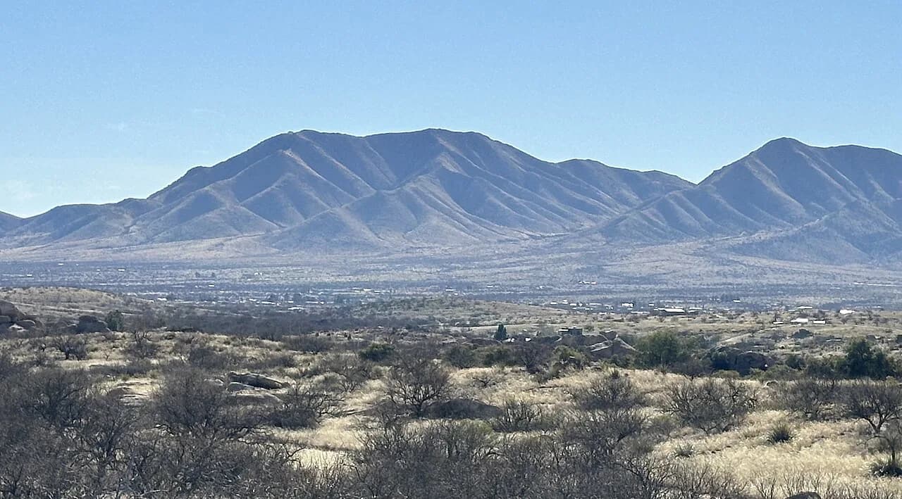
Arizona Hot Springs Trail: Ringbolt Hike, Pools and Season
The Arizona Hot Springs trail drops through White Rock Canyon to the Colorado River and up a ladder to three sandbag pools. Plan the miles, season and climb.
On this page
Arizona Hot Springs rewards hikers who want their soak earned: three sandbag-and-mortar pools stacked in a side canyon above the Colorado River, reached only on foot through a volcanic wash near Boulder City, Nevada. The payoff is a warm soak with river views and canyon walls overhead, but the route is a strenuous desert loop with a ladder in a waterfall as its gatekeeper.
It suits fit hikers who are comfortable with heat, exposed terrain and a stiff climb back out, and it is a poor match for anyone hoping to park beside a pool. The details below cover the loop direction, the ladder, the pool temperatures and the seasonal closure so you can decide before you commit a day to it.
Why the Ringbolt Pools Are Worth the Walk
The draw is the setting as much as the water: warm pools built up with sandbags at the top of a canyon, fed by geothermal water moving through faults in the rock, with steep stone rising on both sides. Lizards, hummingbirds and the occasional tarantula share the canyon, and the riverbank stretch gives you views up and down the Colorado before the climb to the pools.
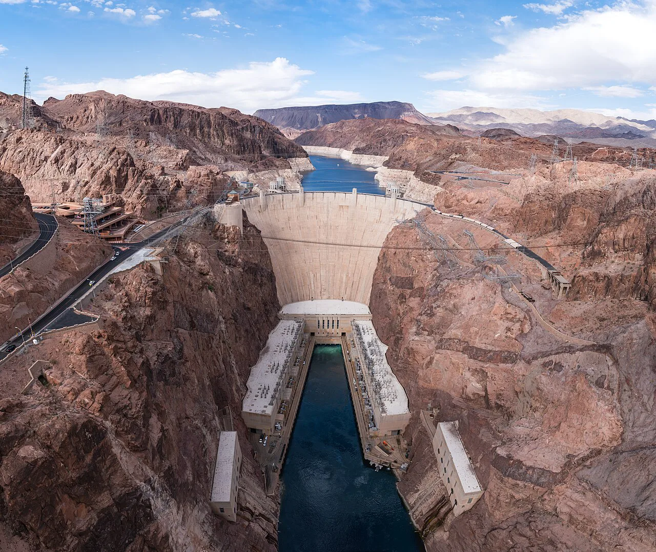
This is a half-day adventure rather than a quick stop, and the combination of a slot canyon descent, a river walk and a ladder climb is what separates it from drive-up soaks. If you want the wider menu of soaks across the state before committing, browse the guide to hot springs in arizona and compare hike-in options with developed ones.
Come prepared to sweat and to carry your own water; the reward is a soak you cannot reach by car, in a canyon that feels far from Hoover Dam traffic despite the short drive. Plan the day around daylight and give yourself margin for the climb out.
Where the Spring Sits
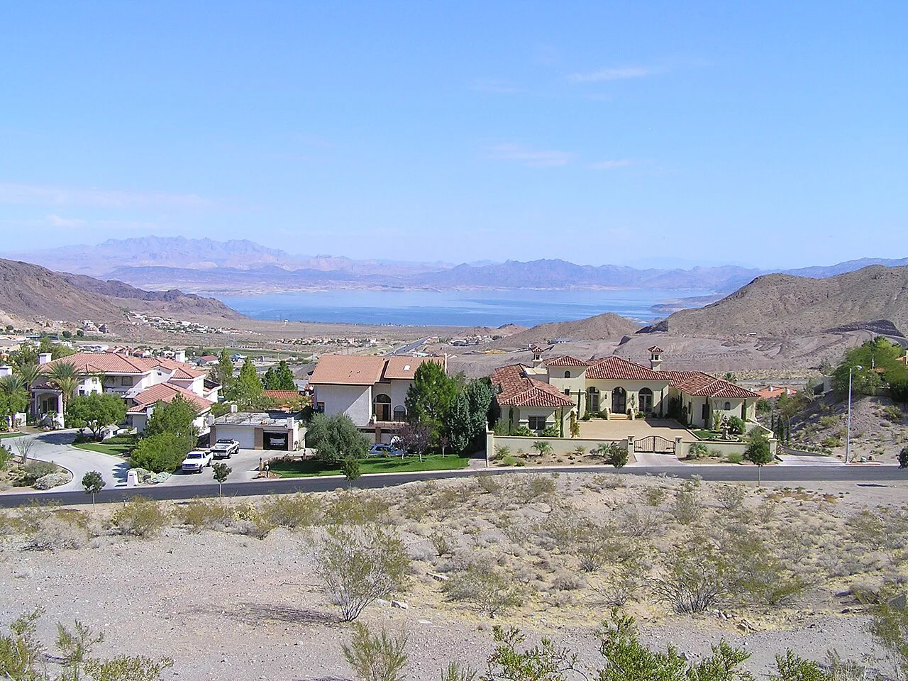
Arizona Hot Springs, also known as Ringbolt Hot Springs, lies in White Rock Canyon near Boulder City, Nevada, close to the Colorado River below Hoover Dam. The name comes from the ringbolts steamboats used to haul themselves over the old Ringbolt Rapids before the dam was built, and you hike through the canyon country those boats once worked.
Boulder City is the practical base for the hike, with the trailhead reached by road from town; the onX route page lists driving directions alongside the route map, which is the simplest way to pin the start before you leave. Load an offline map, because canyon washes and side trails make navigation less obvious than the map suggests.
The spring is often confused with developed resorts elsewhere in the state, but this one is a hike-in canyon soak with no pool deck and no attendant. If you want a resort-style contrast on the same trip, Castle Hot Springs runs guided trails on its own property in the Sonoran Desert, a very different kind of hot springs day. Should you extend the road trip north instead, the Nevada guide covers drive-up soaks and wild pools to compare with this hike-in canyon.
The Route: Wash, Riverbank, Canyon
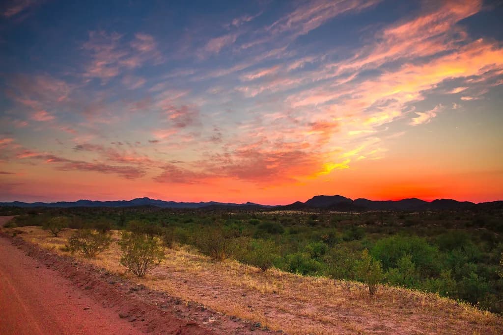
The loop runs about 5.9 miles with 1,204 feet of elevation gain and is rated strenuous. You start down a wide slot canyon on the White Rock Canyon trail, walking a wash walled with red and gold volcanic rock and ash, with white granite boulders washed down from the mountains above.
At the bottom you reach the Colorado River, where kayakers and pontoon boats work the current. The riverbank stretch is part of the route rather than a detour: it links the mouth of White Rock Canyon to Hot Springs Canyon and gives you a flat breather before the climbing starts.
From the river you turn up Hot Springs Canyon, which parallels White Rock Canyon, following warm streams and small waterfalls toward the ladder and the pools above it. You finish by climbing the Hot Spring Canyon Upper Trail back to the trailhead, and the look-back views over the river are the reward for the grind.
The 20-Foot Ladder
The ladder is the decision point. It rises about 20 feet inside a waterfall, and the route description is blunt about it: hold at least three points of contact at all times. Wet rungs, moving water and a heavy pack make it harder than the height suggests, so anyone uneasy with exposure should treat the ladder as the limit of the trip.
The ladder rises about 20 feet inside a waterfall, so hold at least three points of contact at all times.
Climbing with a pack shifts your balance, so keep the load light and your hands free. If the ladder is beyond your comfort level, the canyon and river section still make a solid out-and-back hike, just without the soak.
The Pools
At the top of the ladder you find three pools built up with sandbags, and they sit at different temperatures. Through most of the hiking season the bottom pool runs around 92 F, the middle around 104 F and the upper around 108 F, with canyon winds shifting those numbers day to day.
| Pool | Temperature | Notes |
|---|---|---|
| Bottom pool | 92 F | Typical through most of the season |
| Middle pool | 104 F | Between the bottom and upper pools |
| Upper pool | 108 F | Genuinely hot, so test with a hand and start lower |
The 108 F upper pool is genuinely hot, so test with a hand and start lower; the tiered layout lets you move between temperatures without leaving the water. Keep your head above the surface in untreated geothermal water and mind slick, sandbag-edged footing when you climb in and out.
Expect a crowd at the top pools on weekends, since everyone who finishes the ladder ends up in the same small space. Go early, and be ready to share the water rather than claim a pool.
Difficulty in Honest Terms
The 1,204 feet of gain is concentrated on the return climb, and desert heat multiplies the effort. Ratings put the loop at strenuous, and a Yelp trip note describes it as a strenuous 6.5-mile round trip down White Rock Canyon to the Colorado River and back, which is in the same ballpark as the mapped loop.
Budget more time than the mileage suggests. Loose wash walking, the riverbank traverse, the ladder queue and the soak all eat into the day, and the climb out in afternoon sun is where hikers get into trouble.
Season and Heat Closure
The trail closes each year from May 15 through September 30 because of the heat, when temperatures can reach 120 F. That closure is the single most important planning fact: outside it, aim for the cooler shoulder months and start at first light.
The trail closes each year from May 15 through September 30 because of the heat.
Late fall, winter and early spring give the most forgiving temperatures for the climb out, and winter storms can still bring cold rain and wind to the canyon. Conditions change with weather and road status, so confirm access with the land manager before you drive out.
What to Wear and Carry
Wear grippy shoes you can climb a wet ladder in, and bring more water than a short hike would suggest; the wash is exposed and the return is uphill. A light layer for wind at the pools, a hat and sun protection cover the range of conditions the canyon throws at you.
Pack a dry bag for phones and car keys, and leave glass containers behind since broken glass and bare feet do not mix on slick rock. A small towel and sandals for the pool edge make the soak more comfortable without adding much weight.
Crowds and Timing Your Soak
This is a popular route close to Boulder City and Las Vegas, and the pools are small. Weekday mornings give you the best shot at having the upper tiers to yourself, and an early start also puts the exposed climb out before the heat peaks.
If you arrive to find a group at the ladder, wait rather than crowd the rungs; the waterfall makes passing awkward. On busy days, soak briefly and move on so others get a turn.
Rules and Land-Manager Guidance
The pools are built up with sandbags rather than concrete, and the canyon is public land, so treat posted guidance at the trailhead as the authority for the day. The seasonal closure is the one rule published with the route, and it is enforced for good reason.
Read the signage where you park for current notices on access and group size before you start walking.
Camping and Lodging Near Boulder City
Boulder City is the closest base for motels, food and fuel, and it keeps the drive to the trailhead short on a dawn start. Camping in the wider Lake Mead area gives you a closer overnight option; Lake Mead National Recreation Area manages the campgrounds and permits, so look up the specific site's status before you rely on it.
If you want to build a longer hot springs trip, Verde Hot Springs, Arizona sits in a very different canyon setting along the Verde River and makes a good second stop on a Southwest road trip.
Pairing the Hike With Nearby Routes
The same trailhead area serves several other outings, including Liberty Bell Arch, a moderate 4.06-mile route, and the easy 1.68-mile Lone Palm hike. Goldstrike Canyon is another strenuous option nearby, and the historic railroad tunnels route to Hoover Dam is an easy 7.81-mile walk if you want a rest day.
Do not stack two strenuous canyon hikes back to back in hot weather. Pair the Ringbolt loop with a short arch walk the next morning instead.
Leave No Trace in the Canyon
Pack out everything, including food scraps and wet wipes, because the canyon has no services and the pools sit at the low point of the drainage. Stay on the established route through the wash to protect desert plants, and do not move the sandbags that hold the pools together.
Plan Your Visit
Arizona Hot Springs is a committed hike with a real ladder, three tiered pools and a serious seasonal closure, best done on a cool-season morning with an early start and a light pack. Check the Lake Mead National Recreation Area or the onX Backcountry trail listing for current conditions and closures before you go, then treat the canyon with the respect a strenuous desert route deserves.
Frequently Asked Questions
How long is the Arizona Hot Springs hike?
The mapped loop runs about 5.9 miles with 1,204 feet of elevation gain and is rated strenuous, though trip reports put the round trip in the 6.5-mile range. Budget extra time for the ladder, the soak and the climb out.
Is the Arizona Hot Springs ladder hard to climb?
It is about 20 feet tall and sits inside a waterfall, so rungs are wet and you need at least three points of contact. It is harder with a heavy pack, and hikers uneasy with exposure should treat it as the turnaround point.
What temperature are the Ringbolt hot springs pools?
Through most of the season the bottom pool runs around 92 F, the middle around 104 F and the upper around 108 F. Canyon winds shift those numbers, so test the water before you settle in.
When is the Arizona Hot Springs trail closed?
The trail closes each year from May 15 through September 30 because of the heat, when temperatures can reach 120 F. Plan a shoulder-season visit and start early.
Can you hike Arizona Hot Springs as a loop?
Yes. The route drops through White Rock Canyon to the Colorado River, follows the bank to Hot Springs Canyon, climbs past the ladder to the pools and returns via the Hot Spring Canyon Upper Trail.
What should you bring on the White Rock Canyon hike?
Bring plenty of water, sun protection, grippy shoes for the wet ladder, a light wind layer and a dry bag for valuables. Leave glass at home and carry out everything you bring in.
Sources
Hot springs notes for your next road trip
Optional updates when we add or revise hot springs guides.
You might also like
Continue reading
More guides you'll find useful

.jpg)
